
Anúncios
GPS applications have revolutionized how we navigate our world, transforming smartphones into powerful navigation tools that guide millions of people daily through unfamiliar streets and destinations.
From finding the quickest route to work to discovering hidden gems in foreign cities, GPS navigation apps have become indispensable companions in our daily lives. These sophisticated tools combine satellite technology with real-time data to deliver accurate directions, traffic updates, and location-based services that enhance our mobility and independence.
The evolution of GPS applications represents one of the most significant technological advancements in personal navigation, democratizing access to precise location services that were once exclusive to military and commercial operations. Today, choosing the right GPS app can dramatically improve your travel experience, save time, and reduce stress during your journeys.
🛰️ Understanding How GPS Applications Work
GPS applications leverage a network of satellites orbiting Earth to triangulate your precise position. When you open a GPS app, your smartphone communicates with multiple satellites simultaneously, calculating your location based on signal travel time. This process happens in milliseconds, providing you with real-time positioning accuracy typically within 5 to 10 meters.


Modern GPS apps combine satellite data with other technologies like Wi-Fi positioning, cellular tower triangulation, and accelerometer data to enhance accuracy, especially in urban environments where tall buildings can interfere with satellite signals. This multi-layered approach ensures consistent navigation performance regardless of your surroundings.
The software component of GPS applications processes this location data and overlays it onto digital maps, which are regularly updated to reflect road changes, new businesses, and infrastructure developments. Advanced algorithms calculate optimal routes considering factors like distance, traffic conditions, road types, and even your historical travel patterns.
🌟 Essential Features of Top GPS Navigation Apps
The best GPS applications distinguish themselves through a comprehensive suite of features designed to enhance your navigation experience. Turn-by-turn voice guidance remains fundamental, providing hands-free directions that allow you to keep your eyes on the road while receiving timely instructions about upcoming maneuvers.
Real-time traffic monitoring has become a game-changing feature, utilizing crowdsourced data from millions of users to identify congestion, accidents, and road closures. This information enables GPS apps to dynamically reroute you around delays, potentially saving hours during your commute or road trips.
Offline map capabilities prove invaluable when traveling through areas with limited cellular connectivity or when roaming internationally to avoid data charges. By downloading maps in advance, you maintain full navigation functionality without requiring an internet connection.
Points of interest integration helps you discover restaurants, gas stations, parking facilities, and attractions along your route or near your destination. Many GPS apps now include user reviews, photos, and detailed information about these locations, effectively combining navigation with discovery.
📱 Popular GPS Applications and Their Unique Strengths
The GPS application market offers diverse options tailored to different user preferences and needs. Waze stands out for its community-driven approach, where users actively report traffic incidents, police presence, road hazards, and gas prices. This real-time crowdsourced information creates a collaborative navigation experience that benefits the entire user community.
Google Maps dominates the market with its comprehensive global coverage, integration with other Google services, and powerful search functionality. The app excels at finding businesses, understanding natural language queries, and providing detailed information about destinations including opening hours, popularity trends, and user reviews.

Apple Maps has significantly improved since its challenging launch, offering seamless integration with iOS devices, attractive visual design, and excellent privacy protections. The app provides detailed transit directions in major cities and features like Flyover for three-dimensional city exploration.
Specialized GPS applications cater to specific activities like hiking, cycling, or trucking. Apps like AllTrails focus on outdoor recreation with topographic maps and trail information, while truck-specific GPS apps account for vehicle dimensions, weight restrictions, and commercial routing requirements.
🚗 Maximizing Your GPS App Experience While Driving
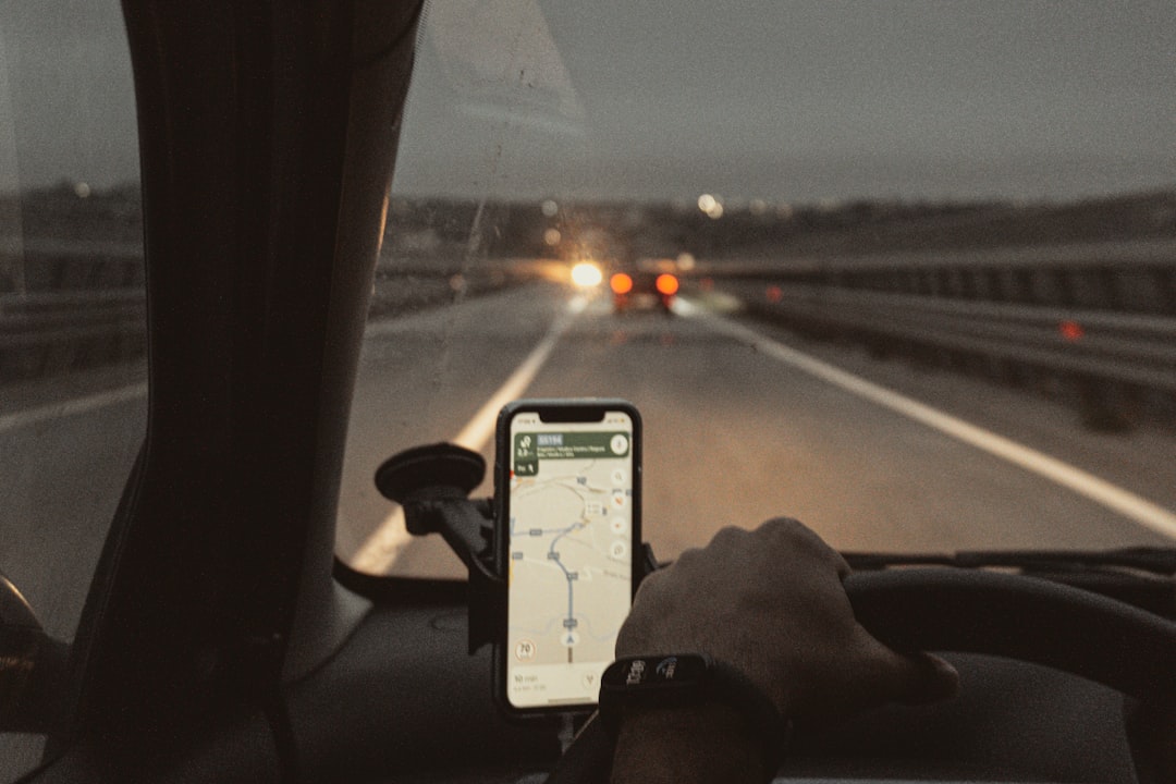
Using GPS applications safely and effectively while driving requires proper setup and mindful practices. Before starting your journey, secure your smartphone in a windshield or dashboard mount positioned within your line of sight but not obstructing your view of the road. This placement allows you to glance at directions without significant distraction.
Configure your GPS app settings before departing, including route preferences such as avoiding toll roads or highways, enabling voice guidance at appropriate volume levels, and setting up any intermediate stops. Many apps allow you to send destinations from your computer to your phone, enabling route planning from the comfort of your home.
Voice commands have evolved to become highly accurate and useful, allowing you to interact with GPS apps without touching your phone. Learn the voice command capabilities of your chosen app to search for destinations, add stops, or report incidents entirely hands-free.
Battery consumption represents a legitimate concern when using GPS applications for extended periods. Navigation apps utilize GPS hardware continuously, illuminate your screen, and process data intensively, draining battery faster than most activities. Consider using a car charger to maintain battery levels during long trips, or enable battery-saving modes that reduce screen brightness and limit background processes.
🌍 International Travel and GPS Applications
GPS applications shine during international travel, helping you navigate unfamiliar territories with confidence. Before departing, download offline maps for your destination countries to ensure navigation capability without cellular data. Most major GPS apps offer this feature, allowing you to access full navigation, search, and routing functionality without internet connectivity.
Research local traffic laws and driving customs before relying on GPS navigation in foreign countries. Speed limits, road signs, and driving norms vary significantly between regions, and GPS apps may not always account for every local regulation or convention.
Language settings in GPS apps typically allow you to maintain instructions in your preferred language even when navigating abroad. This feature proves particularly valuable when street names are in unfamiliar scripts or languages, as the app can display both local names and transliterations.
Time zone awareness has improved in modern GPS applications, which automatically adjust estimated arrival times as you cross time zones. This feature helps you plan breaks, meetings, and accommodations more accurately during cross-country or international journeys.
🔒 Privacy Considerations When Using GPS Apps
Location tracking represents the core functionality of GPS applications, but it also raises important privacy considerations. GPS apps collect detailed information about your movements, frequently visited locations, and travel patterns. Understanding how this data is used, stored, and shared empowers you to make informed decisions about your digital privacy.
Most GPS applications offer granular privacy controls that allow you to limit location tracking to only when using the app, disable location history, or prevent your data from contributing to traffic information. Review these settings periodically to ensure they align with your privacy preferences and comfort level.
Anonymous or incognito modes have been introduced by several GPS providers, allowing you to navigate without saving destinations to your history or contributing your location data to traffic services. These modes provide privacy-conscious alternatives for sensitive trips or when you simply prefer not to be tracked.
Data encryption practices vary between GPS applications, with some providers employing end-to-end encryption for location data while others store information in formats accessible to the company. Research the privacy policies and data practices of GPS apps before committing to regular use, especially if privacy is a priority for you.
🚴 Beyond Driving: GPS Apps for Various Transportation Modes
Modern GPS applications have expanded beyond automotive navigation to support multiple transportation modes. Walking directions account for pedestrian pathways, crosswalks, and stairs, providing routes optimized for foot traffic rather than vehicles. These directions often highlight scenic routes or paths through parks that cars cannot access.
Cycling navigation has become increasingly sophisticated, with many GPS apps offering routes that prioritize bike lanes, paths, and roads with lower traffic volumes. Some applications provide elevation profiles to help cyclists prepare for challenging climbs or choose flatter alternatives.
Public transit integration represents a major advancement in GPS applications, combining real-time transit schedules, route planning across multiple transportation modes, and notifications about delays or service changes. These features make navigating unfamiliar transit systems significantly less intimidating and more efficient.
Ride-sharing integration allows many GPS apps to seamlessly connect with services like Uber and Lyft, comparing travel times and costs between driving, public transit, and ride-sharing options. This integration simplifies decision-making and booking when you need transportation without your own vehicle.
⚡ Future Innovations in GPS Application Technology
Augmented reality navigation represents an exciting frontier for GPS applications, overlaying directional arrows and information directly onto real-world views captured by your smartphone camera. This technology reduces confusion at complex intersections and makes following directions more intuitive, especially for pedestrians in dense urban environments.
Artificial intelligence continues to enhance GPS applications through predictive routing that learns your habits and suggests departures times to arrive punctually, considering historical traffic patterns. AI also improves voice recognition, enables more natural language processing for searches, and can predict your intended destination based on time, day, and location patterns.
Electric vehicle integration has become a priority for GPS developers as EV adoption accelerates. Modern GPS apps for electric vehicles consider battery levels, charging station locations, charging speeds, and even elevation changes that affect range, ensuring EV drivers can confidently plan long journeys without range anxiety.
Environmental routing options are emerging in response to climate concerns, allowing users to choose routes that minimize fuel consumption, reduce emissions, or avoid environmentally sensitive areas. These features appeal to environmentally conscious users who want their navigation choices to reflect their values.
🛠️ Troubleshooting Common GPS Application Issues
GPS accuracy problems occasionally arise due to various factors. If your GPS app shows incorrect location or struggles to acquire a signal, ensure your phone has a clear view of the sky, as buildings, tunnels, and dense tree cover interfere with satellite signals. Restarting your phone or toggling airplane mode can refresh GPS connections and resolve temporary glitches.
Slow or outdated map data can result in routing errors and missing locations. Regularly update your GPS application and download the latest map versions, especially before important trips. Most apps update automatically when connected to Wi-Fi, but manual checks ensure you have current information.
Battery drain concerns can be addressed through several strategies. Lower screen brightness, close unnecessary background apps, and consider enabling battery saver modes that reduce GPS accuracy slightly in exchange for extended battery life. Investing in a quality car charger eliminates battery concerns during vehicle navigation.
Voice guidance problems occasionally occur due to system volume settings or app-specific audio configurations. Check both your phone’s main volume and the GPS app’s internal voice guidance settings, ensuring both are enabled and set to appropriate levels for your environment.
💡 Expert Tips for Getting the Most from Your GPS App
Exploring your GPS application’s advanced features can unlock significant value beyond basic navigation. Many apps offer the ability to save frequent destinations as favorites, create multi-stop routes for errands, and share your estimated arrival time with contacts who can track your progress in real-time.
Customizing map displays according to your preferences enhances usability. Options typically include satellite view, terrain overlay, traffic layer, and various information densities. Experiment with different display modes to find what works best for your eyes and navigation style.
Contributing to GPS app communities through reporting hazards, updating business information, or writing reviews improves the experience for everyone while giving you influence over the accuracy of data in areas you know well. Community contributions form the backbone of many popular navigation platforms.
Regular exploration of app settings reveals useful features you might overlook. Speed limit displays, lane guidance for complex intersections, alternate route comparisons, and parking availability information can transform your navigation experience when enabled and properly configured.

🎯 Choosing the Right GPS Application for Your Needs
Selecting the ideal GPS application depends on your specific requirements, preferences, and typical use cases. Consider your primary navigation scenarios, whether daily commuting, frequent travel, outdoor recreation, or commercial driving, as different apps excel in different contexts.
Evaluate each app’s coverage quality in your region, as mapping accuracy and detail vary significantly between providers in different countries and rural areas. Test multiple applications in your area to compare which offers the most current data and reliable routing.
User interface preferences matter significantly when you interact with an app regularly. Some users prefer minimalist designs with essential information, while others appreciate detailed displays with abundant data. Download several top GPS apps and use them for a few days to determine which interface feels most intuitive and comfortable.
Integration with your existing technology ecosystem influences the optimal choice. iPhone users might prefer Apple Maps for seamless Siri integration, Android users may favor Google Maps for Assistant compatibility, and privacy-focused individuals might choose apps with stronger data protection regardless of slight feature compromises.
